|
FreeComputerBooks.com
Links to Free Computer, Mathematics, Technical Books all over the World
|
|
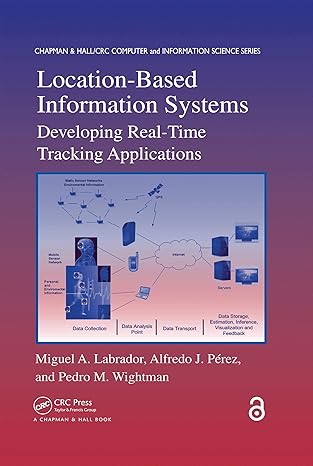
- Title: Location-Based Information Systems: Developing Real-Time Tracking Applications
- Author(s) Miguel A. Labrador, Alfredo J. Perez, Pedro M. Wightman
- Publisher: Chapman and Hall/CRC; 1st edition (October 18, 2019); eBook (Creative Commons Licensed)
- License(s): Creative Commons License (CC)
- Hardcover/Paperback: 288 pages
- eBook: PDF
- Language: English
- ISBN-10: 0367383489
- ISBN-13: 978-0367383480
- Share This:

|
The book provides information and examples for creating real-time Location-Based Information Systems (LBIS) based on GPS-enabled cellular phones. covers all of the components needed to develop an LBIS.
About the Authors- N/A
- Geographic Information System (GIS) and Web Mapping
- Computer Graphics, 3D, Animation and Imaging
- Data Analysis and Data Mining, Big Data
- Statistics and SAS Programming

- Location-Based Information Systems: Developing Real-Time Tracking Applications
- The Mirror Site (1) - PDF
-
 Advanced Location-Based Technologies and Services
The book provides information on Location-Based Services (LBSs), including WiFi fingerprinting, geo-crowdsouring, and location privacy as well as application areas such as LBSs for public health, indoor navigation, pedestrian navigation, and advertising.
-
 Mapping and the Citizen Sensor (Giles Foody, et al)
The proliferation of inexpensive and highly mobile and location aware devices together with Web 2.0 technology have fostered the emergence of the citizen as a source of data. Mapping activities have benefitted greatly from advances in geoinformation technologies.
-
 Satellite Positioning - Methods, Models and Applications (S. Jin)
This book provides a good reference for satellite positioning techniques, engineers, scientists as well as user community. It is devoted to presenting recent results and development in satellite positioning technique and applications.
-
 GPS: Essentials of Satellite Navigation (Jean-Marie Zogg)
This book offers an up-to-date, easy-to-understand treatment of Global Positioning System (GPS) without bogging readers down with advanced mathematics, including GPS satellite orbit and precise point positioning and location-based services.
-
 Geographic Data Science with Python (Sergio Rey, et al.)
Provides the tools, the methods, and the theory to meet the challenges of contemporary data science applied to geographic problems and data, by using geographical and computational reasoning to unlock new insights hidden within data.
-
 Archaeological 3D GIS (Nicolò Dell'Unto, et al.)
This book provides archaeologists with a guide to explore and understand the unprecedented opportunities for collecting, visualising, and analysing archaeological datasets in three dimensions, using GIS.
-
 Earth, Space, Environmental Science Explorations with ArcGIS Pro
This book covers a range of topics in the earth and space sciences, such as plate tectonics, natural hazards, Mars exploration, and climate change. Through a series of hands-on exercises, readers will gain basic competency in Esri's ArcGIS Pro software.
-
 The ArcGIS Book: 10 Big Ideas about The Science of Where
Provide access to hundreds of live maps from the worldwide ArcGIS user community. Each big idea is about the ways that GIS technology can unlock your data to reveal deeper insights and a better understanding of virtually any problem with a geographic dimension.
-
 Nature of Geographic Information Systems (David DiBiase)
The purpose of this book is to promote understanding of the Geographic Information Science and Technology enterprise (GIS&T, also known as 'geospatial'). It explores the nature of geographic information.
-
 Geographic Information System Basics (Jonathan Campbell)
From the melting of the polar ice caps to privacy issues associated with mapping, this book provides a gentle, yet substantive, introduction to the use and application of digital maps, mapping, and GIS.


